Ten Manassas city neighborhoods from the city's own map, from Downtown to Point of Woods: zoned schools, home values, parks, buses and I-66 distances.
Last checked Oct. 20, 2026. Sources: the City of Manassas 2045 Comprehensive Plan, HOA directory and GIS layers (neighborhoods, school boundaries), the Census Bureau, the Virginia Department of Education’s School Quality Profiles, Zillow Research, OmniRide schedule data and OpenStreetMap.
Manassas is an independent city of about 43,000 people, separate from Prince William County, which surrounds it. The Census Bureau’s 2020-2024 American Community Survey counts 42,976 residents (QuickFacts). The city’s own neighborhoods map names 77 neighborhoods and housing communities; this guide covers the 10 largest areas, each on its own page.
What this means for you
- Check city or county first. A Manassas mailing address does not mean the city. Look up a parcel in the city’s property assessment database or call the Commissioner of the Revenue at 703-257-8263.
- One high school: every city address is zoned for Osbourn High and Grace E. Metz Middle; only the elementary and intermediate zones change from area to area.
- One ZIP code: the whole city is in 20110, so Zillow’s ZIP figure, $504,628 in September 2026, is the same for every area below.
How the city is laid out
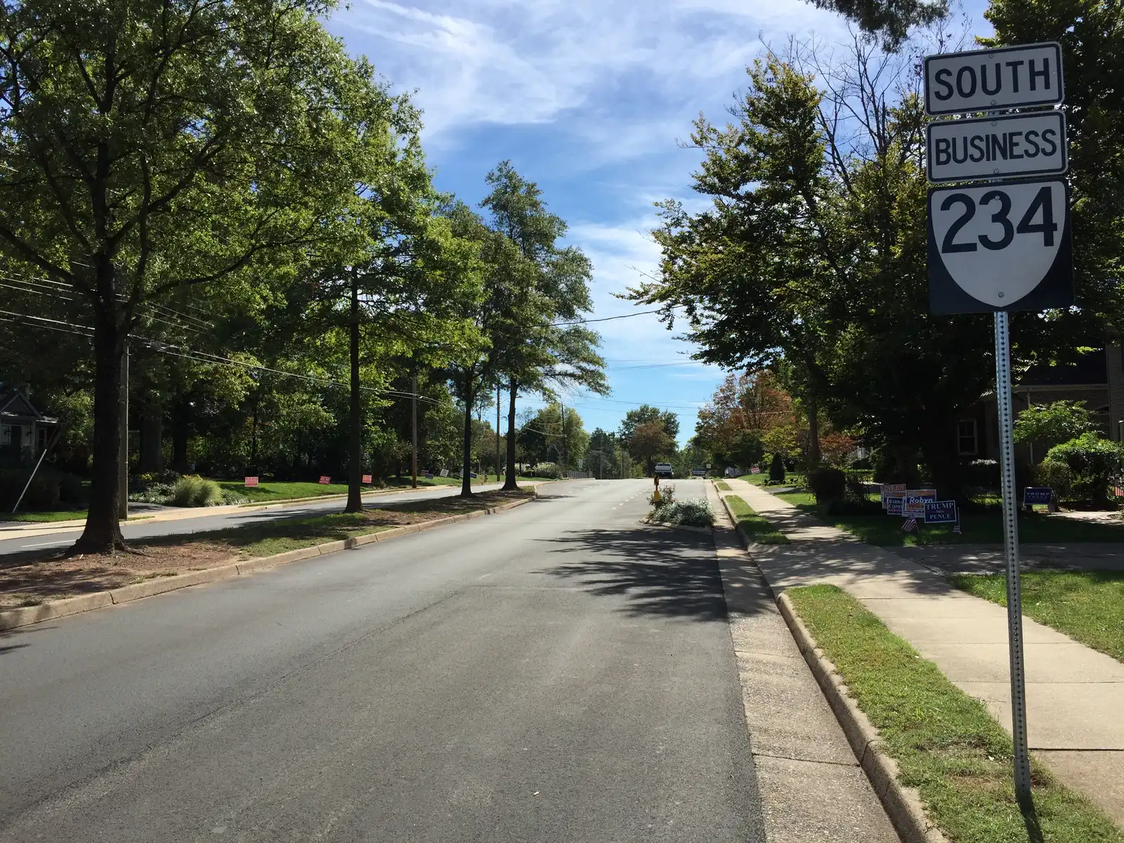
Downtown and the depot sit near the middle of the city. Route 28 runs north and south through it as Centreville Road, Center Street, Church Street and Nokesville Road, and Route 234 Business crosses it as Sudley Road and Grant Avenue, heading north to I-66 at exit 47. The Prince William Parkway runs just outside the city’s east side.
The Census Bureau’s ZIP code areas put 99.7% of the city in ZIP 20110. Neighboring ZIP codes 20109, 20111 and 20112 also carry Manassas addresses but are mostly in Prince William County, whose schools, taxes and services are different. School zones follow the city line: city addresses attend Manassas City Public Schools, and county addresses attend Prince William County Public Schools.
The city’s 2045 Comprehensive Plan, adopted Oct. 27, 2025, sorts the city into eleven character areas. Most homes are in Suburban Neighborhoods, “the dominant form of development in the City,” built mostly since 1950. The Traditional Neighborhoods, “the oldest neighborhoods in the City,” ring downtown.
The neighborhoods at a glance
| Area | ZIP | Elementary zone | High school | Typical value, ZIP, Sept. 2026 | Guide |
|---|---|---|---|---|---|
| Downtown | 20110 | Haydon (most), Baldwin, Jennie Dean | Osbourn | $504,628 | Downtown |
| Point of Woods | 20110 | Weems (most), Haydon | Osbourn | $504,628 | Point of Woods |
| Landmark Square | 20110 | Weems | Osbourn | $504,628 | Landmark Square |
| Sumner Lake | 20110 | Haydon | Osbourn | $504,628 | Sumner Lake |
| Cavalry Run | 20110 | Haydon | Osbourn | $504,628 | Cavalry Run |
| Bristoe Station | 20110 | Jennie Dean | Osbourn | $504,628 | Bristoe Station |
| Georgetown South | 20110 | Round, Jennie Dean | Osbourn | $504,628 | Georgetown South |
| Wellington | 20110 | Jennie Dean (most), Round, Baldwin | Osbourn | $504,628 | Wellington |
| Lee Manor | 20110 | Round | Osbourn | $504,628 | Lee Manor |
| Oakenshaw | 20110 | Baldwin | Osbourn | $504,628 | Oakenshaw |
Elementary zones are from the city’s school boundary layer, last updated in 2017; confirm an address with Manassas City Public Schools at 703-257-8800. The home value is the Zillow Home Value Index for ZIP 20110, a modeled typical value for the middle third of homes, not a sale price; it was $504,881 a year earlier. More in our home prices guide.
North of downtown
- Point of Woods: about 1,700 homes in the city’s map, detached houses plus townhouses and an apartment complex, between Stonewall Road and Liberia Avenue. Byrd Park, Stonewall Park and the Liberia House grounds are on its edges.
- Landmark Square: 412 single-family homes between Sudley Road and Portner Avenue, zoned for Weems Elementary, with Byrd Park on its north side.
- Sumner Lake: 286 single-family homes and 51 age-restricted condos around a lake off Plantation Lane, with its own HOA.
Downtown
- Downtown: about 970 single-family homes in five downtown pieces of the city’s map, plus townhouses and apartments, with the Manassas Local Historic District covering the traditional downtown. The VRE and Amtrak depot is about 0.3 mile from the middle.
West side
- Cavalry Run: 467 single-family homes between Ashton Avenue and Park Avenue, with Cavalry Run Park and the free OmniRide route 65 on Rolling Road.
- Bristoe Station: 505 townhouses across Ashton Avenue, zoned for Jennie Dean Elementary, with its own HOA.
South and east
- Georgetown South: 860 townhouses, the largest townhouse community in the city’s map, between Grant Avenue and Wellington Road, about 0.6 mile from the depot.
- Wellington: about 1,900 homes of every type along Wellington Road and Hastings Drive, including two age-restricted communities.
- Lee Manor: 386 single-family homes in the southwest, all zoned for George Carr Round Elementary, with Lee Manor Park’s lighted courts.
- Oakenshaw: 398 single-family homes between Signal Hill Road and Wellington Road, zoned for Baldwin Elementary, a short walk from the Liberia Avenue supermarkets.
The city’s map also names smaller neighborhoods this guide does not cover yet, among them Weems, Owens Wood, Baldwin Oaks/Owens Brooke, Cloverhill, Meadow View, WoodBrooke, Winterset, Cedar Crest, Cannon Ridge, the Landings at Cannon Branch and Battery Heights.
Comparing Manassas with its neighbors
For taxes, schools, home values and commutes in Manassas, Manassas Park, Centreville and Linton Hall side by side, see Manassas vs Manassas Park vs Centreville vs Linton Hall. More on the city itself: moving to Manassas, property taxes, schools, parks and trails and getting around.
How we built this
The areas and their edges come from the City of Manassas’s own neighborhoods map layer, which names each neighborhood and housing community and counts its homes. Where several communities share a name or sit together (the five downtown pieces, the four Point of Woods pieces, the Wellington communities), we grouped them. OpenStreetMap names Point of Woods and Lee Manor as places too; the city’s HOA directory names the associations. Character areas come from the 2045 Comprehensive Plan; school zones from the city’s school boundary layer; ZIP codes from the Census Bureau; distances from the OSRM routing engine on OpenStreetMap roads; bus stops from OmniRide’s published schedule data. Neighborhood outlines: City of Manassas GIS. Map data © OpenStreetMap contributors.
Frequently asked questions
What are the neighborhoods in Manassas, Virginia?
The city’s neighborhoods map names 77 neighborhoods and housing communities. The largest include Downtown and its surrounding streets, Point of Woods, Wellington, Georgetown South, Bristoe Station, Cavalry Run, Landmark Square, Oakenshaw, Lee Manor and Sumner Lake.
What ZIP code is the city of Manassas?
- The Census Bureau’s ZIP code areas put 99.7% of the city in 20110. Manassas mailing addresses in 20109, 20111 and 20112 are mostly in Prince William County, outside the city.
What high school do Manassas city neighborhoods go to?
Osbourn High, 1977 Eagle Way, serves every address in the city, and Grace E. Metz Middle serves every address for grades 7 and 8. Elementary and intermediate zones differ by neighborhood.
How do I know if a Manassas address is in the city or the county?
Look the parcel up in the city’s property assessment database; city parcels are taxed by Manassas, attend Manassas City Public Schools and are served by city police and fire. Addresses outside the city limits are in Prince William County.
Have your say