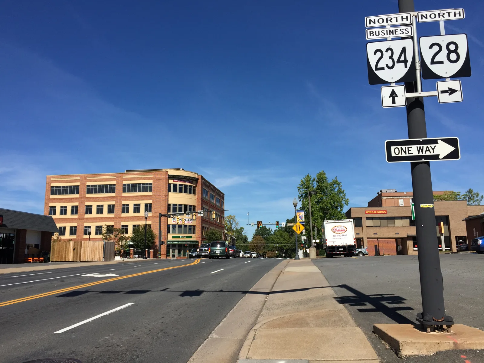
Downtown Manassas and the streets around it hold about 970 single-family homes in the city's map, in ZIP 20110, zoned for Osbourn High and 0.3 mile from the depot.
Last checked Oct. 20, 2026. Sources: the City of Manassas 2045 Comprehensive Plan, Historic Overlay District page and GIS layers (neighborhoods, school boundaries), the Virginia Department of Education’s School Quality Profiles, Zillow Research, OmniRide schedule data and OpenStreetMap.
Downtown Manassas is the city’s oldest part: the depot, the shops and restaurants of Center and Main streets, and the grid of older houses around them. The city’s 2045 Comprehensive Plan maps it as the Downtown character area, ringed by Traditional Neighborhoods that “represent the oldest neighborhoods in the City,” most “developed before 1950.” City Hall is at 9027 Center St.; the main line is 703-257-8200.
What this means for you
- Zoned high school: Osbourn High, for the whole city. Elementary zones are split; see below.
- Home value: $504,628 in ZIP 20110 in September 2026, according to the Zillow Home Value Index.
- Nearest I-66 exit: Exit 47, Sudley Road (Route 234 Business), about 4.9 miles by road.
Part of our Manassas neighborhoods guide.
Where it is
The city’s neighborhoods map layer splits the area into five pieces: Downtown itself, Downtown East, Downtown South, Downtown North/Annaburg and Downtown North/Robnel. Together they run from Sudley Road and Stonewall Road on the north and northwest to Prince William Street and Church Street on the south, with Quarry Road and Centreville Road on the east and Center Street and Grant Avenue crossing through. Streets inside include Battle Street, West Street, Peabody Street, Stuart Avenue, Beauregard Avenue, Maple Street and Robnel Avenue.
The whole area is in ZIP code 20110. The Manassas Local Historic District, the largest of the city’s three historic overlay districts, takes in “the traditional downtown area as well as numerous surrounding neighborhoods,” more than 300 structures, according to the city. Exterior changes there are reviewed by the Architectural Review Board under the city’s design guidelines.
Homes
The city’s neighborhoods layer counts about 970 single-family homes across the five downtown pieces, the largest group (388) in Downtown North/Annaburg. It also lists the Olde Towne Square (58) and Grant Corner (14) townhouses, Manassas Station apartments (105) and two small condo and apartment buildings. The plan’s goals for the Downtown character area include “new residential opportunities within a half-mile of the train station.”
Schools
Grace E. Metz Middle (grades 7 and 8) and Osbourn High serve every address in the city. The lower grades depend on where you live. On the city’s school boundary layer, last updated in 2017, about two-thirds of the area is in the Richard C. Haydon Elementary zone, with the rest split among Baldwin, Jennie Dean and Weems. Most of it goes to Mayfield Intermediate for grades 5 and 6; a southern slice goes to Baldwin Intermediate. Confirm an address with Manassas City Public Schools at 703-257-8800 or its enrollment page.
| Level | School | Address | State rating (2025-26) |
|---|---|---|---|
| Elementary (most) | Richard C. Haydon Elementary | 9075 Park Ave. | Meets Expectations, 83.35 |
| Elementary (part) | Baldwin Elementary | 1978 Eagle Way | Meets Expectations, 83.53 |
| Elementary (part) | Jennie Dean Elementary | 9601 Prince William St. | Approaching Expectations, 73.84 |
| Intermediate (most) | Mayfield Intermediate | 9400 Mayfield Court | Approaching Expectations, 79.55 |
| Middle | Grace E. Metz Middle | 9950 Wellington Road | Needs Intensive Support, 76.85 |
| High | Osbourn High | 1977 Eagle Way | Approaching Expectations, 81.80 |
Every school in the division is Fully Accredited. More in our schools guide.
Home values
The typical home value in ZIP 20110 was $504,628 in September 2026, $253 less than in September 2025 ($504,881), according to the Zillow Home Value Index. That is a modeled value for the middle third of homes, not a sale price, and it covers the whole ZIP code, not downtown alone. Zillow’s wider “Manassas” index, which reaches into Prince William County, was $547,070. More in our home prices guide.
Parks and trails
From the city’s parks page and parks map:
- Baldwin Park, 9101 Prince William St.: garden path and playground behind the Manassas Museum
- Nelson Park, 8915 Grant Ave.: picnic areas, gazebo and walking trails
- Walter Delisle Park, 9027 West St.: the city’s smallest park, with a playground
- Annaburg, 9201 Maple St.: the Portner estate grounds with interpretive signs
- Harris Pavilion, 9201 Center St.: the farmers market, summer concerts and a winter ice rink
Marsteller Park, 8780 Sudley Road, is just north. More in our parks and trails guide.
Getting around
- Trains: the depot, 9431 West St., is about 0.3 mile by road from the middle of the area, with VRE Manassas Line trains to Washington and Amtrak.
- I-66: exit 47 (Sudley Road) is about 4.9 miles and exit 53 (Route 28, Centreville) about 6.5 miles, using VDOT’s exit numbers.
- Airport: Washington Dulles International is about 16.5 miles. These are distances on the OpenStreetMap road network with the OSRM routing engine, not drive times.
- Buses: free OmniRide Local routes 65 and 67 stop at Church and Center streets and at the PWC Courthouse hub, in OmniRide’s published schedule data.
More in our getting around guide.
Groceries and everyday stores
From OpenStreetMap, inside or at the edge of the area:
- Food Lion, Centreville Road
- CVS Pharmacy, Centreville Road
- Walgreens, Sudley Road
- Walgreens, Dumfries Road
HOAs
The city’s HOA directory lists associations for Olde Town Square and Grants Corner here.
How we drew this area
The edges are the five downtown pieces in the city’s own neighborhoods map layer, with the smaller downtown townhouse, condo and apartment communities inside them. School zones and the ZIP code come from laying the city’s school boundary layer and the Census Bureau’s ZIP code areas over those edges. Store locations are © OpenStreetMap contributors.
Frequently asked questions
What ZIP code is downtown Manassas?
- The Census Bureau’s ZIP code areas put all of downtown and its surrounding neighborhoods in 20110, the ZIP code that covers almost all of the city.
What schools serve downtown Manassas?
Grace E. Metz Middle and Osbourn High serve the whole city. Most of the downtown area is in the Richard C. Haydon Elementary zone on the city’s school boundary map, with smaller parts in the Baldwin, Jennie Dean and Weems zones.
Is downtown Manassas a historic district?
Yes. The Manassas Local Historic District covers the traditional downtown and several surrounding neighborhoods, more than 300 structures, and exterior changes there go to the city’s Architectural Review Board.
Is downtown Manassas a good place to live?
Here are the facts. Downtown has the VRE and Amtrak depot, the Harris Pavilion and four small city parks, about 970 single-family homes in the city’s neighborhoods map, and Osbourn High as its zoned high school (Fully Accredited). The typical home value in ZIP 20110 was $504,628 in September 2026, according to Zillow.
Have your say